
02.11.2026 11:21
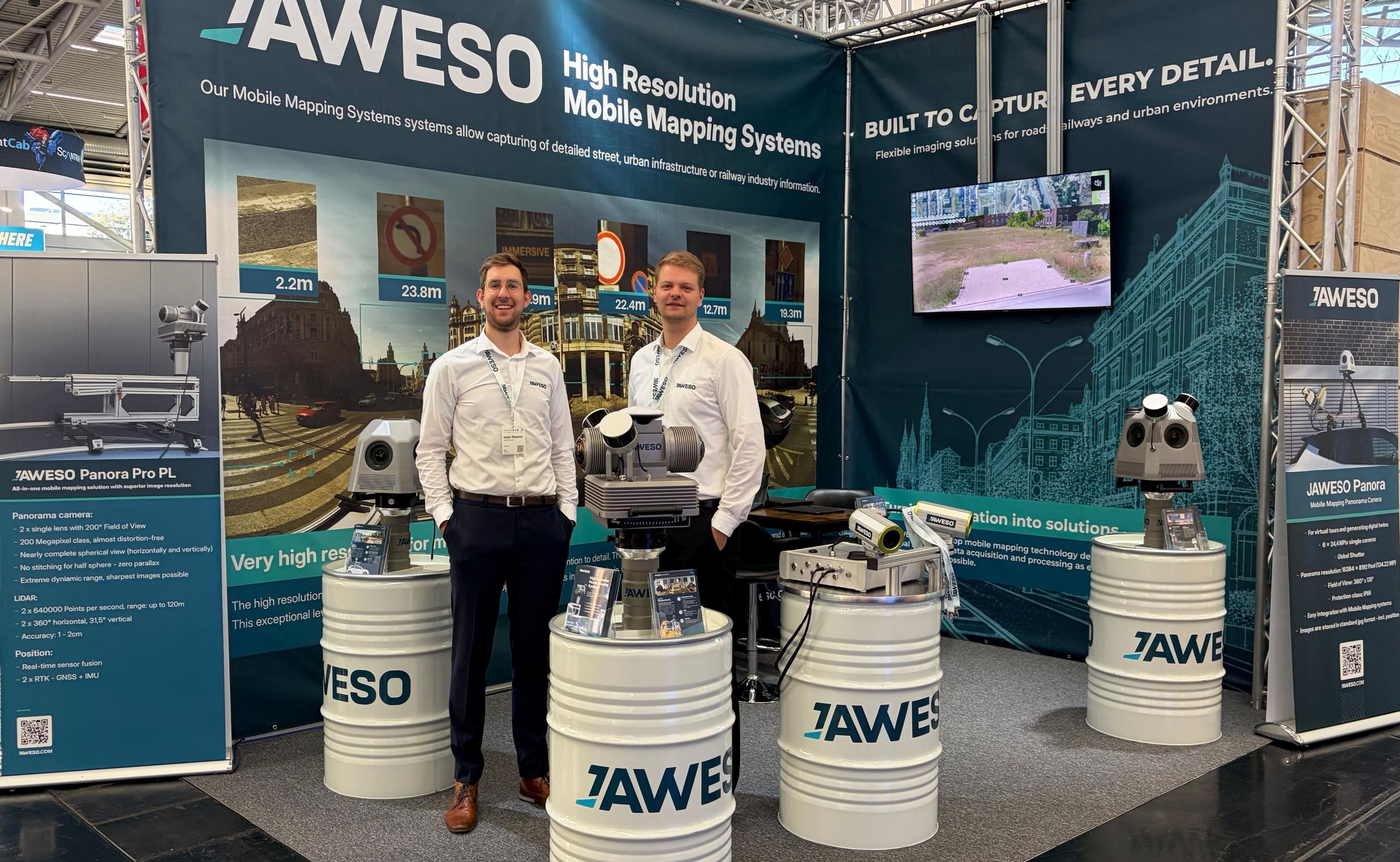
INTERGEO 2026 in Munich – JAWESO presents the complete mobile mapping workflow
We were once again represented at INTERGEO this year and presented our latest JAWESO systems and solutions for mobile mapping with high-resolution image and LiDAR data in Munich from September 15 to 17, 2026.
The Complete JAWESO Workflow
Another key focus was the entire process, from system setup to the final analysis. This included transportation and setup, assembly and connection, preparing for data capture in JAWESO Capture, collecting image and LiDAR data, and subsequent processing in JAWESO Office. After processing, the finished panoramas and point clouds are available in the Viewer, where they can be visualized, measured, and analyzed.
Many thanks to everyone who visited us at INTERGEO 2026 in Munich.