27.10.2025 09:17
JAWESO GmbH at INTERGEO 2025 – Precision, Integration and Innovation at the Highest Level
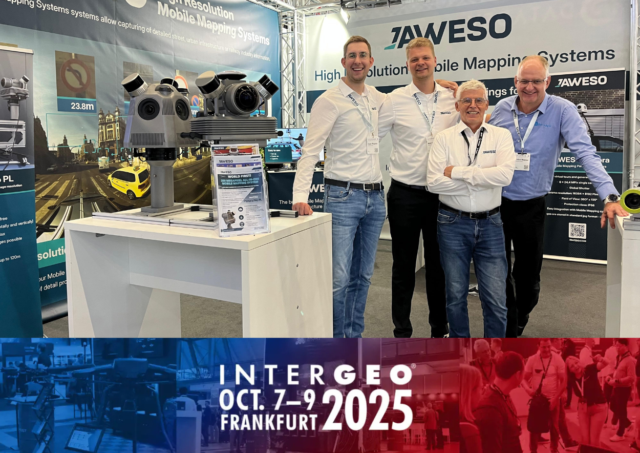
Also this year, we presented our latest developments in mobile mapping at INTERGEO 2025 in Frankfurt am Main. As a German specialist in high-resolution mobile mapping systems, we demonstrated how state-of-the-art camera technology, precise real-time positioning and efficient software solutions are taking mobile data collection to the next level.
Visitors from the road and rail infrastructure, energy supply and smart city sectors experienced firsthand how our innovative solutions are setting new standards for efficiency and quality.
Technological Highlights
At the center of our exhibition was the JAWESO Panora Pro PL – the world’s first mobile mapping system with 200-megapixel image resolution. The system generates razor-sharp 360° panoramas using only two cameras, without parallax and with exceptional color accuracy. Thanks to integrated LiDAR sensors, GNSS/IMU and double-SLAM technology, precise measurements are possible even in challenging environments such as city centers or tunnels.
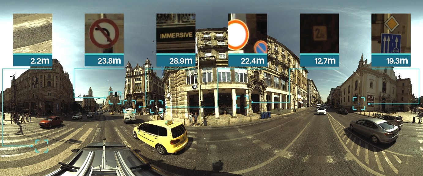 Panoramic image from the JAWESO Panora Pro PL – 200 MPix
Focus on Digital Twin and Smart City
A particular focus was placed on new applications in the digital twin and smart city sectors. Our technology enables even the smallest details – such as sign texts or structural damage – to be clearly identified directly in the images, at a quality level previously unattainable with mobile mapping systems. This level of detail helps municipalities and companies manage infrastructure more efficiently, detect damage early and take action before larger issues arise. The precise imaging also offers key benefits for legal documentation and evidence preservation.
Software Expertise as a Key Element
In addition to the hardware, we also presented our JAWESO-Office software, which includes automatic stitching, point cloud optimization and GDPR-compliant image anonymization. With JAWESO-Office, we offer a complete workflow from data collection to analysis. After processing, the data is available in standard formats such as LAS/LAZ and JPG and can be made accessible across entire organizations via modern web technologies or integrated into specialized applications.
Positive Feedback
Industry professionals praised the outstanding image quality, ease of use and open system architecture of our solutions. Our team, led by Jasper Wegener, held numerous discussions with representatives from government, industry and research and received a lot of positive feedback for our practical user-oriented approach to making mobile mapping more efficient and accessible.
Thank you to everyone who visited our booth!
The great interest and inspiring conversations play a key role in helping us continuously develop and improve our innovations in geospatial data capture.