05.10.2024 15:12
JAWESO GmbH at INTERGEO 2024 – Taking Mobile Mapping Solutions to the Next Level
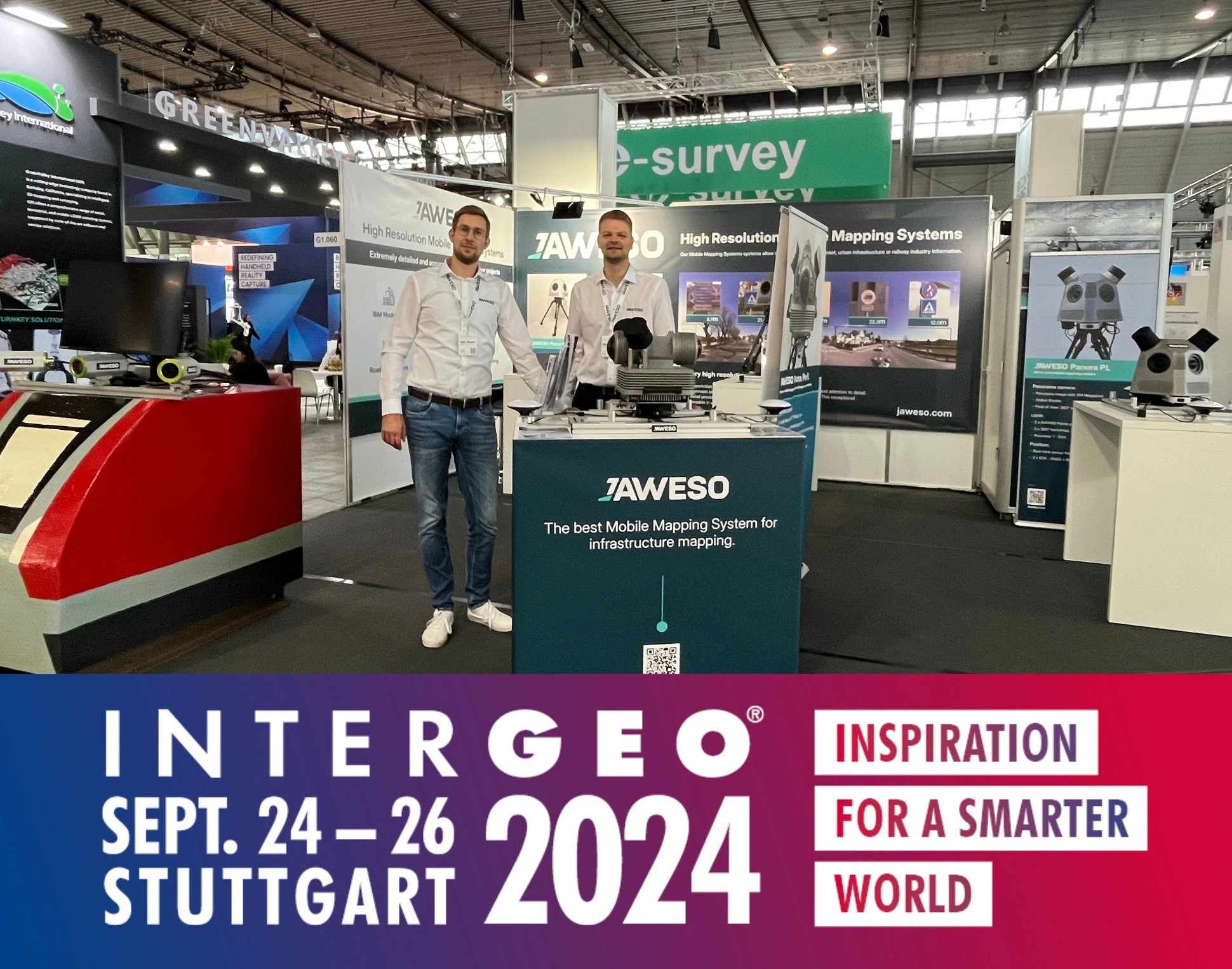
We were proud to present our innovative Mobile Mapping solutions for the first time at INTERGEO 2024 in Stuttgart. Our systems stand out due to their exceptional image quality and ease of use, with data available immediately in formats such as JPG and LAS. As a leading provider of advanced Mobile Mapping systems, we offer tailored solutions for the precise capture and analysis of environmental data.
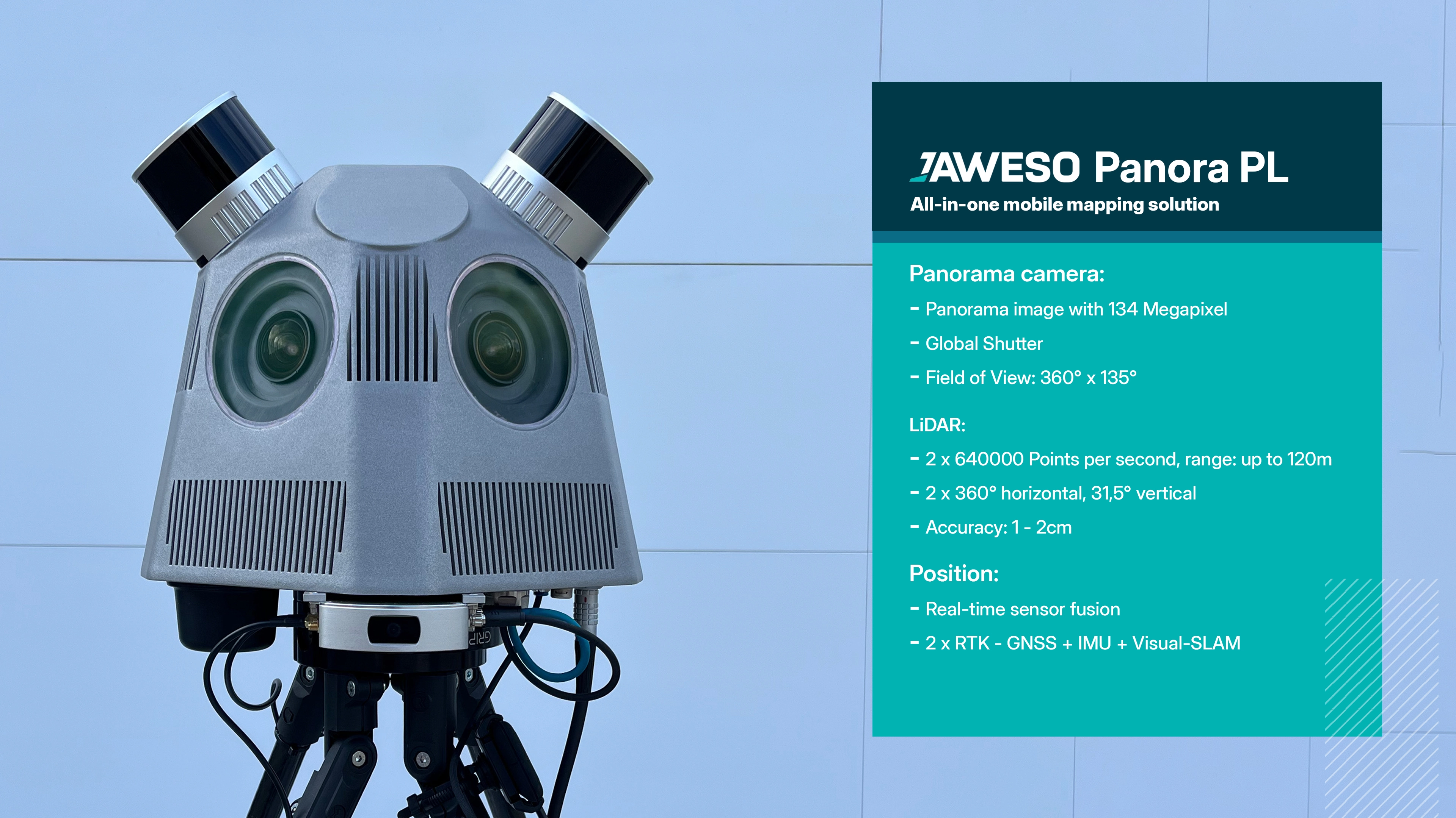
Mobile Mapping with 134 and 200 Megapixel Image Resolution
At the event, we introduced two groundbreaking systems. The JAWESO Panora PL captures 360° panoramas with 134 megapixels, utilizing two LiDARs and real-time GNSS/IMU/vSLAM positioning. This system is ideal for applications such as evidence documentation, digital twins, and volume calculations.
The big brother, the JAWESO Panora Pro PL, creates 360° panoramas using two cameras with specialized lenses, offering an impressive 200-megapixel resolution. This allows for the detection of fine details, such as cracks in roads or distant street signs. Enhanced with LiDAR technology and real-time positioning, it is perfectly suited for smart cities, HD maps, and infrastructure analysis.
Solutions for Combining with Other Mobile Mapping Systems
Our portfolio also includes the JAWESO Panora, a stand-alone 134-megapixel camera, and the JAWESO Planar, a unit equipped with up to six cameras designed for integration with systems from Trimble, Leica, or Riegl.
Thank you to everyone who visited our booth at INTERGEO 2024! We look forward to supporting your geospatial data needs.