16.06.2025 18:27

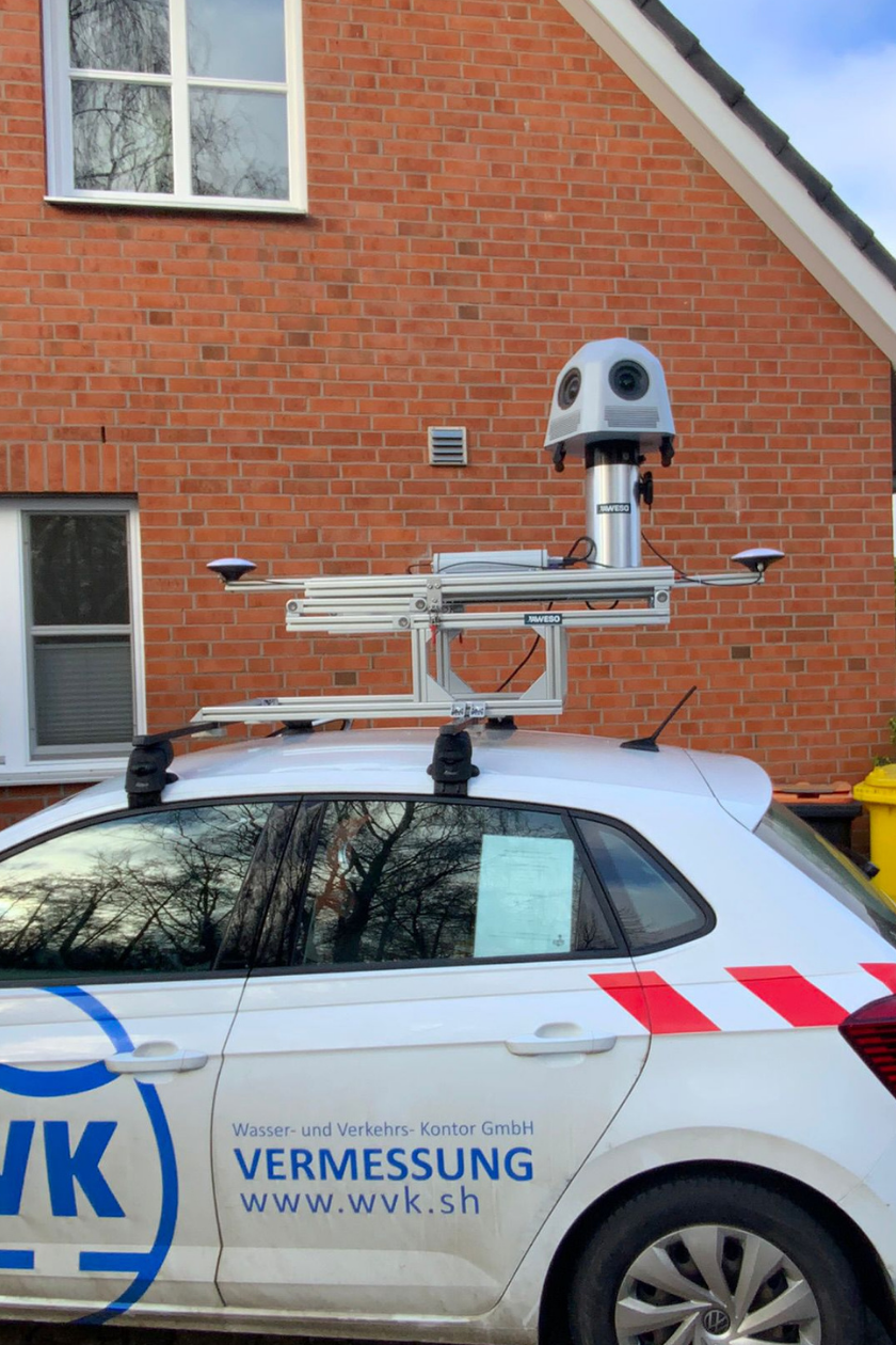
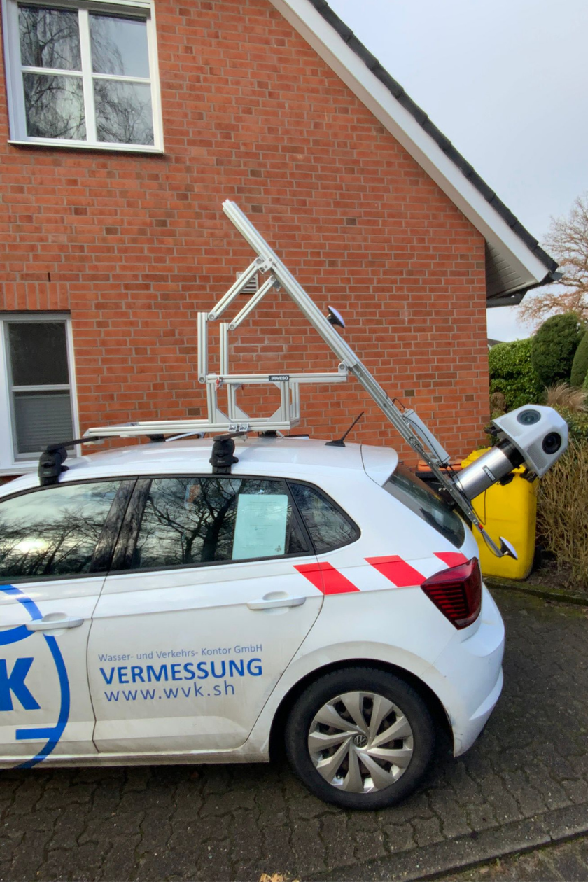
Precision you can rely on – WVK relies on the JAWESO Panora
Wasser- und Verkehrs-Kontor GmbH (WVK) modernized its existing mobile mapping system last year with a clear goal: to significantly improve image quality, increase flexibility in operation, and enable the use of image data across a wider range of applications.
The company chose the JAWESO Panora with a resolution of 134 megapixels. With the new system, WVK has already documented many kilometers of road networks in northern Germany. The solution is used in various areas, including:
-
• Road inventory and condition surveys
-
• Evidence documentation prior to construction projects, e.g., wind farms, utility corridors, or broadband expansion
-
• Parking space and green area surveys
-
• Route inspections and documentation for municipal projects and events
“I am absolutely thrilled with JAWESO! From the first contact to implementation, everything went smoothly: professional consulting, fast response times, and convincing quality,” says Manfred Geve, Mobile Mapping manager at WVK. He also highlighted the collaboration: “You really feel understood and well supported by JAWESO.”
With the new solution, WVK now works even more efficiently and can utilize the captured image data across significantly more areas than before. The high image quality and stable system architecture ensure a reliable and practical application.
We would like to thank WVK for their trust – and we look forward to many more successful projects together.